Why people choose it
Grandville
Rennie's home base on the Grand, minutes from everything west.
- 01
Grand River frontage and established neighborhoods.
- 02
Central to the whole West Michigan market — city and shore both close.
- 03
Grandville Public Schools.
- 04
Rennie's office is here; local knowledge is first-hand, not researched.
Photographs
Grandville, as it is.
Real photographs, freely licensed, credited to the people who took them. Nothing here was generated.
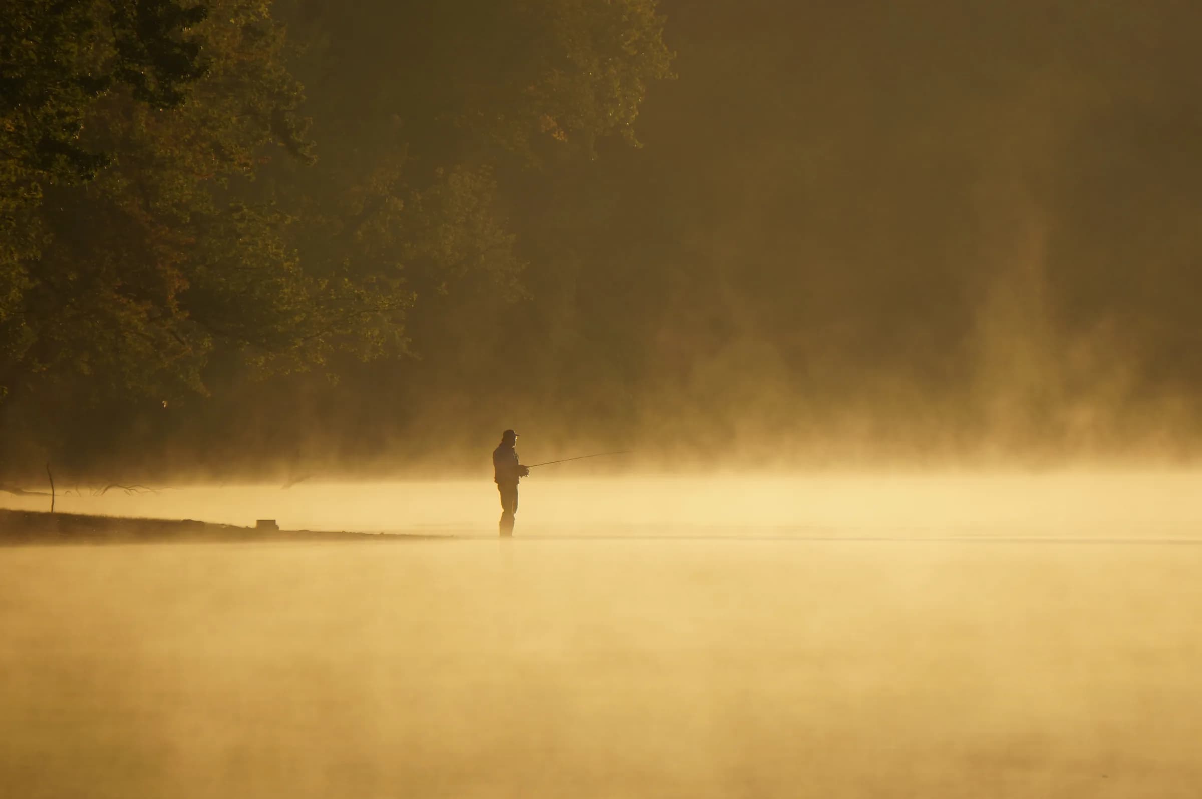
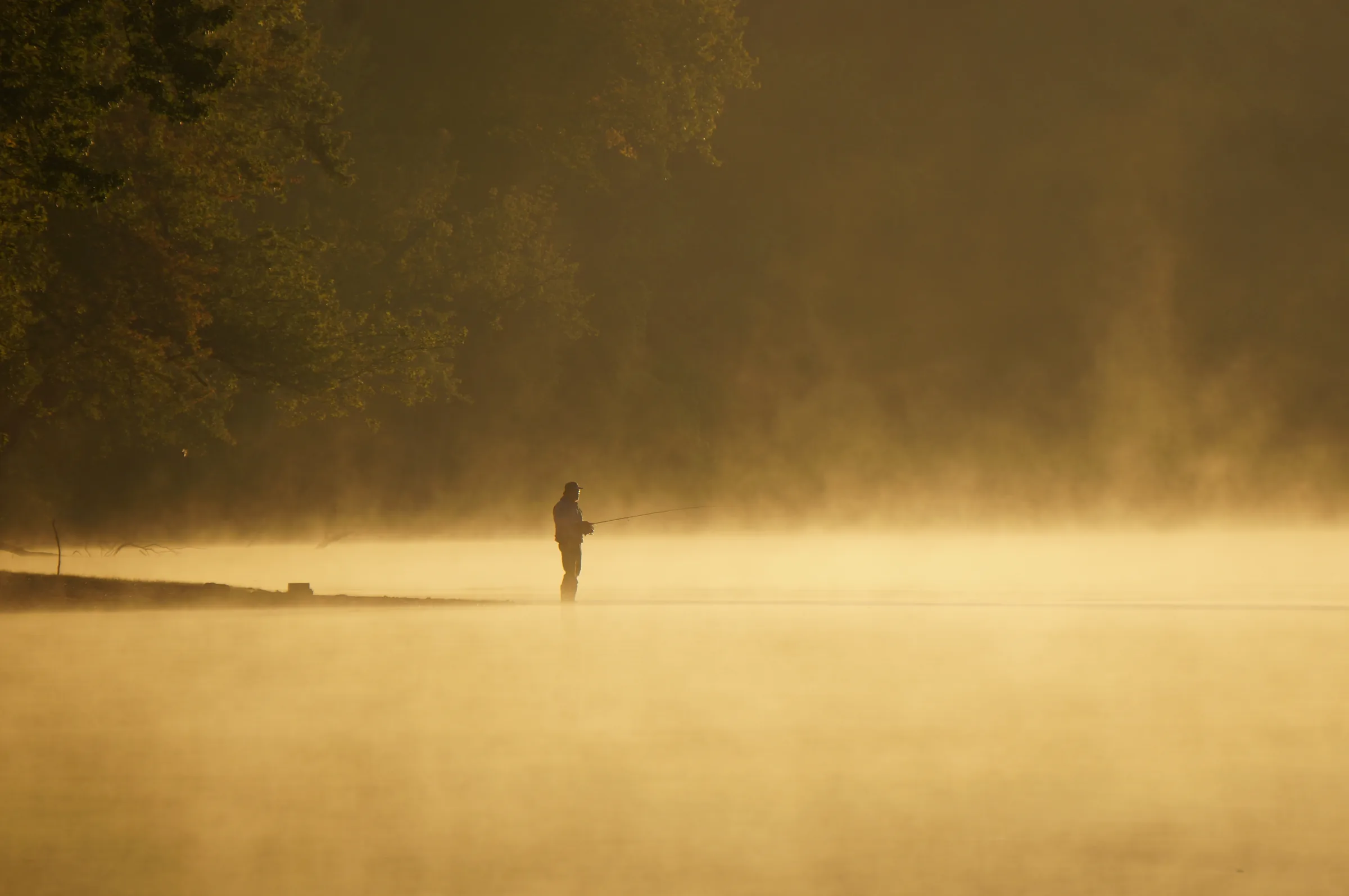
01An angler standing in mist on the Grand River at Grandville on a September morning.
Rachel Kramer from Grandville, MI, United States · CC BY 2.0
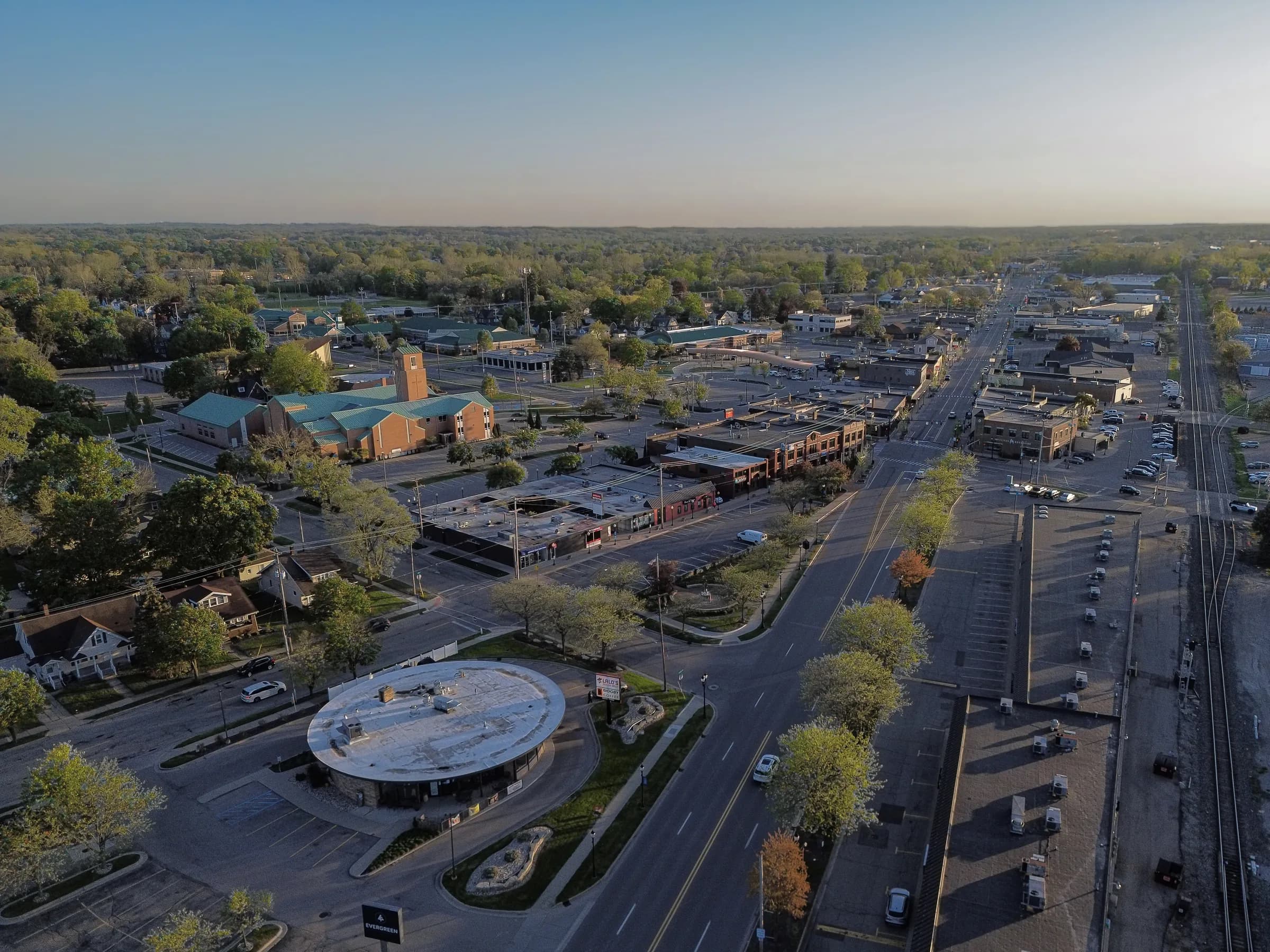
02Downtown Grandville from the air at the end of the day, looking along Chicago Drive toward the rail line.
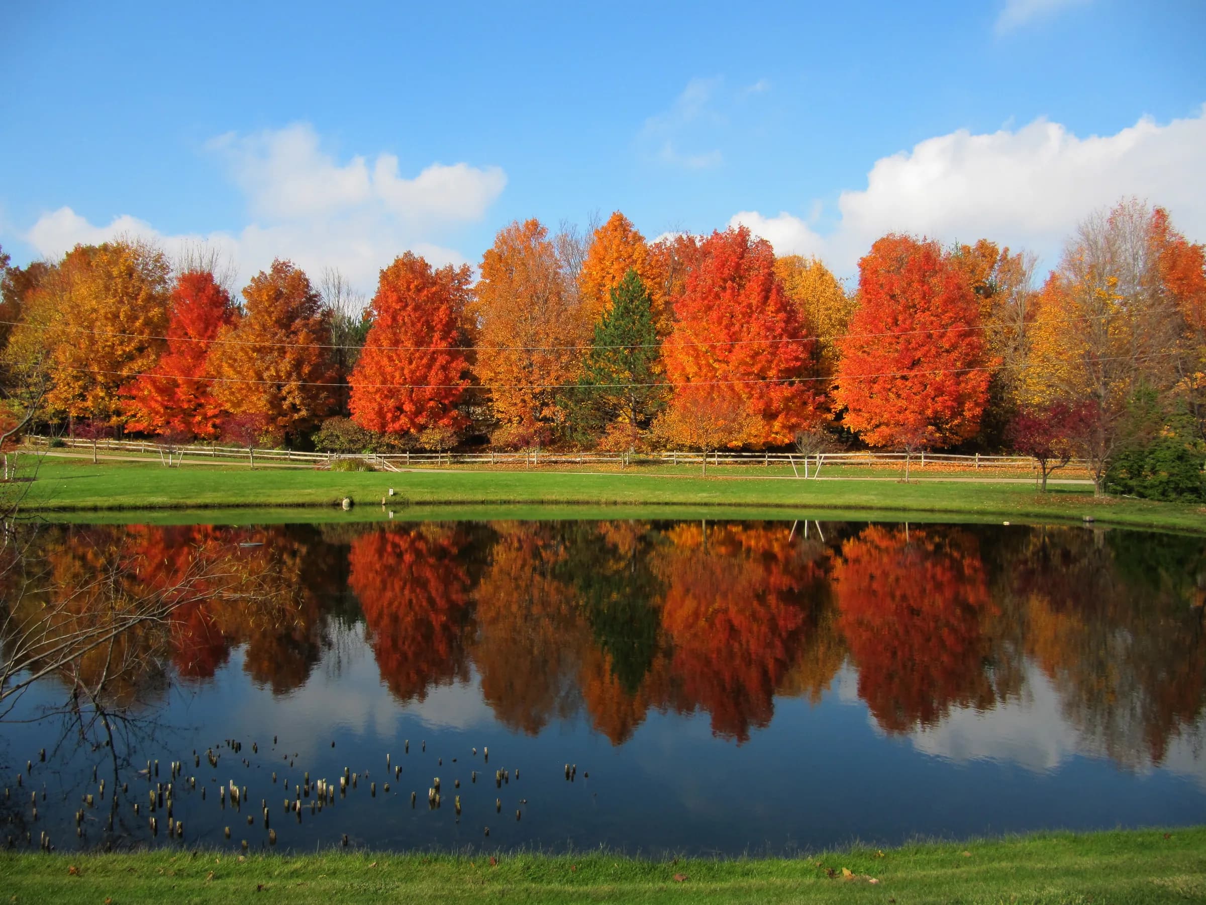
03Maples in full autumn colour reflected in a pond in Grandville.
Things to do
Around Grandville.
Named places, not a mood board. Follow any of them through to the people who run it.
Park
01
Millennium Park
1,400 acres across four cities, with six miles of Grand River frontage.
Park
02
Grand River Waterfront
Fifteen riverfront acres with a public boat launch and bike path.
Park
03
Heritage Park
Nineteen acres of pathways and footbridges, with the No. 10 Schoolhouse.
Trail
04
Buck Creek Trail
A 2.1-mile path running from 34th Street to the Grand River.
Museum
05
Grandville Historical Museum
In the lower level of City Hall; includes a locally found mastodon skeleton.
Historic building
06
No. 10 Schoolhouse
A one-room schoolhouse in Heritage Park, open two Saturdays each year.
Park
07
Wedgwood Park
Fourteen acres with lighted ball fields, pickleball courts and a pavilion.
Shopping
08
RiverTown Crossings
Regional shopping center opened in November 1999, with a 20-screen cinema.
Hours, seasons and access change. Everything above links to the organization that runs it — check there before you drive out to Grandville.
On the map
Center of gravity.
Grandville is Rennie's own base of operations. It sits on the Grand River with quick reach to downtown, the airport and the lakeshore — a practical center of gravity for a market that runs from the city to the water.
- County
- Kent
- Water
- Grand River and Buck Creek
- Schools
- Grandville Public Schools
- Land area
- 7.2 square miles
Pins mark the center of Grandville and any listings nearby. Approximate positions, not surveyed locations.
The market
Grandville, last month.
Every figure below is Grandville's own, as published for the month named on it.
- Median sale price
$300,000
City of Grandville · May 2026 (11 sales)
−17.8% year over year
- Median price per square foot
$181/sq ft
City of Grandville · May 2026 (11 sales)
−8.7% year over year
- Median days on market
6 days
City of Grandville · May 2026 (11 sales)
−2 days year over year
- Homes sold
11
City of Grandville · May 2026
−15.4% year over year
- New listings
23
City of Grandville · May 2026
−17.9% year over year
- Homes for sale
13
City of Grandville · May 2026
+8.3% year over year
Redfin Monthly Housing Market Tracker, All Residential. Published by Redfin on 2 June 2026 and read into this site on 5 August 2026. Monthly figures describe closed sales, not asking prices, and a single month in a small town moves on a handful of transactions — none of this is a valuation of any particular house.
Nearby
Closest to Grandville.
Nothing listed in Grandville this week.
Rennie works this market directly, and a good deal of what trades at the top of it never reaches a public search. Ask him what is actually available.
Ask Rennie about GrandvilleBefore you buy
What to lookinto first.
Local conditions that change what a parcel is worth or what may be built on it. None of this is legal advice and none of it answers for a specific address — it is what to raise with the municipality, your attorney and your inspector before the offer, not after.
- 01Grand River and Buck Creek flooding
The city's northern boundary is the Grand, and Buck Creek runs through it. In April 2013 the National Weather Service recorded a record crest of 21.85 feet on the Grand at Grand Rapids, against a previous record of 19.64 feet set in 1985, and logged significant flooding along Buck Creek including an evacuation at a nursing home beside the creek. Pull the FEMA map for the parcel and ask for the elevation certificate and any flood insurance history.
National Weather Service- 02A Superfund site on Chicago Drive
The Organic Chemicals, Inc. site was a solvent reclamation and chemical plant whose spills and lagoons contaminated soil and groundwater. Soil was excavated in 2003 and the property redeveloped, but institutional controls remain, groundwater is sampled annually, and EPA has flagged 1,4-dioxane and PFAS as contaminants of emerging concern. The next five-year review is scheduled for 2029; check the site boundary against anything you are considering nearby.
US EPA- 03County drain assessments
A Kent County drainage district is a public corporation forming a special assessment district, and each property inside it pays a share of maintaining and improving the drain. Assessments are apportioned by the Drain Commissioner at a public day of review, and appear on the winter tax bill everywhere in the county except the City of Grand Rapids. Ask the treasurer whether the parcel sits in a drainage district and whether an assessment is currently levied.
Kent County- 04The school district is not the city
Grandville Public Schools runs eleven schools for about 5,547 students, and its boundaries do not follow the city limits. A Grandville mailing address does not by itself put a house in the Grandville district, and some homes inside the city feed elsewhere. Verify the assigned elementary, middle and high school by parcel before making an offer.
NCES- 05Living beside Millennium Park
The park covers about 1,400 acres of reclaimed land spanning four cities, with six miles of river frontage, a six-acre beach and roughly 18 miles of trails. Frontage or trail access is a genuine amenity, but it also brings seasonal traffic, event parking and public foot traffic close to the property line. Walk the boundary and see where the trail access points and parking areas sit relative to the lot.
Kent County
Check it at the source
Zoning, permitted uses, shoreline rules and school boundaries are set by the governing bodies below and can change. These are the offices that answer for Grandville.