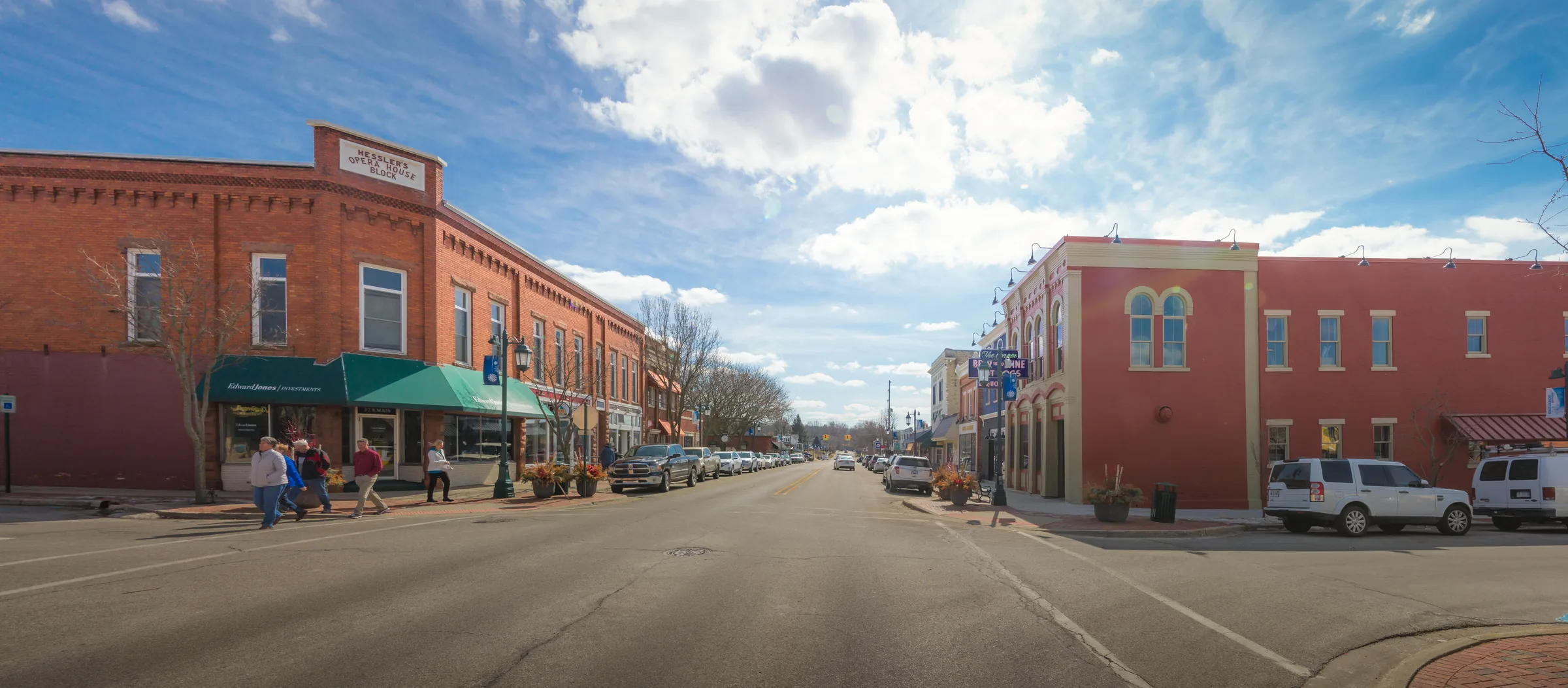
Rockford.
Why people choose it
Rockford
The Rogue River through downtown and executive neighborhoods beyond it.
- 01
Rogue River frontage and a downtown built along the water.
- 02
The White Pine Trail runs straight through the middle of it.
- 03
Acreage and custom homes north and east of the city.
- 04
Rockford Public Schools with a strong local following.
Photographs
Rockford, as it is.
Real photographs, freely licensed, credited to the people who took them. Nothing here was generated.
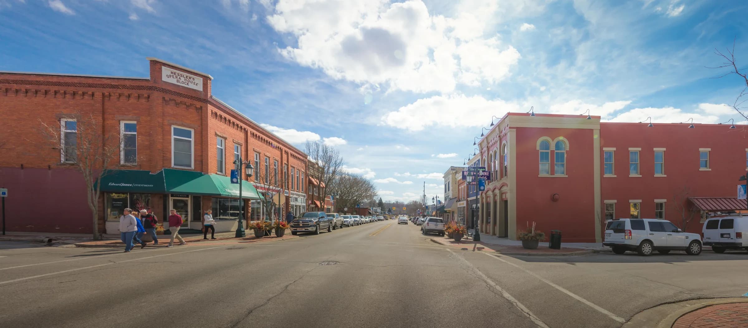
01Main Street in downtown Rockford, with the brick Hessler's Opera House block on the corner.
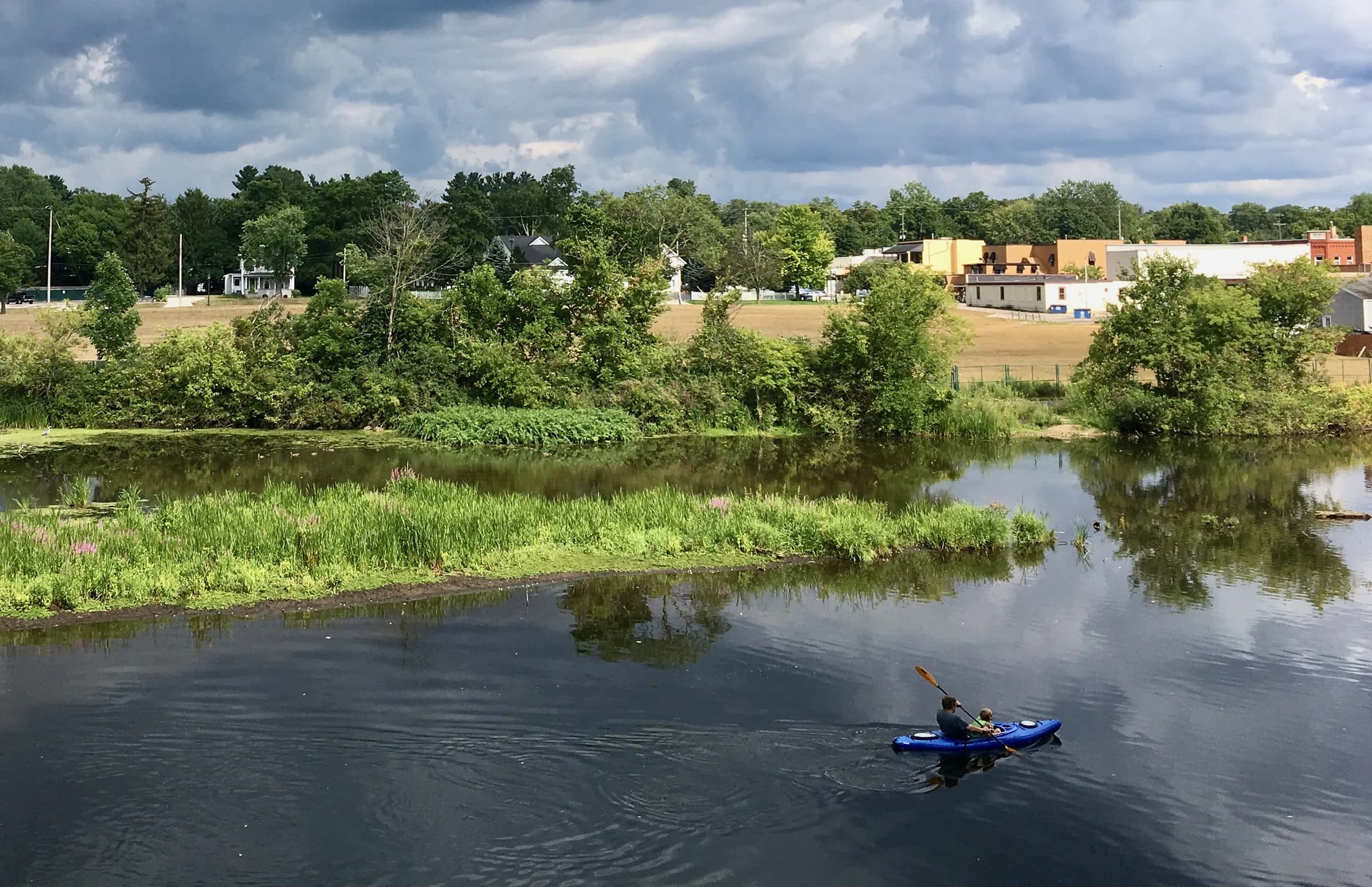
02Kayakers on the Rogue River at Rockford, with the edge of the town on the far bank.
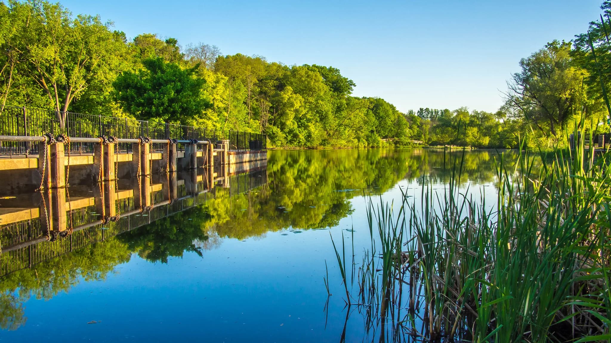
03Early morning at the Rockford dam on the Rogue River.
Things to do
Around the dam.
Named places, not a mood board. Follow any of them through to the people who run it.
Trail
01
Fred Meijer White Pine Trail
A 92-mile paved rail-trail running through Rockford north to Cadillac.
Dam
02
Rockford Dam Overlook
A renovated overlook on Bridge Street downtown, with direct river access.
Boardwalk
03
Rogue River Nature Trail
A quarter-mile boardwalk over 4.5 acres, starting in Peppler Park.
Park
04
Peppler Memorial Park
West of the dam, with a fishing platform and a crossing over the river.
Park
05
Memorial Park
Holds the Rum Creek nature and fitness trail and a cold-water trout stream.
Park
06
Garden Club Park
Riverside picnic plaza and concert deck, used for the Rogue River Blues series.
Dog park
07
Richardson-Sowerby Park
Spans both banks of the Rogue River and includes a dog park.
Market
08
Rockford Farm Market
Runs downtown each year from May through October.
Hours, seasons and access change. Everything above links to the organization that runs it — check there before you drive out to Rockford.
The market
Rockford, last month.
Every figure below is Rockford's own, as published for the month named on it.
- Median sale price
$447,950
City of Rockford · May 2026 (12 sales)
+1.9% year over year
- Median price per square foot
$208/sq ft
City of Rockford · May 2026 (12 sales)
−13.2% year over year
- Median days on market
6 days
City of Rockford · May 2026 (12 sales)
−3 days year over year
- Homes sold
12
City of Rockford · May 2026
+50.0% year over year
- New listings
16
City of Rockford · May 2026
+23.1% year over year
- Homes for sale
13
City of Rockford · May 2026
+160.0% year over year
Redfin Monthly Housing Market Tracker, All Residential. Published by Redfin on 2 June 2026 and read into this site on 5 August 2026. Monthly figures describe closed sales, not asking prices, and a single month in a small town moves on a handful of transactions — none of this is a valuation of any particular house.
On the map
The river through it.
Rockford has a genuine main street with a river running through it — the dam, the boardwalk and the White Pine Trail all inside a few blocks. Beyond downtown, executive neighborhoods and acreage give buyers room without giving up the town.
Water · Rogue River
- County
- Kent
- Water
- Rogue River
- Schools
- Rockford Public Schools
- City land area
- 3.22 square miles
Pins mark the center of Rockford and any listings nearby. Approximate positions, not surveyed locations.
Nearby
Closest to Rockford.
Nothing listed in Rockford this week.
Rennie works this market directly, and a good deal of what trades at the top of it never reaches a public search. Ask him what is actually available.
Ask Rennie about RockfordBefore you buy
What to lookinto first.
Local conditions that change what a parcel is worth or what may be built on it. None of this is legal advice and none of it answers for a specific address — it is what to raise with the municipality, your attorney and your inspector before the offer, not after.
- 01PFAS and private wells
EPA and Michigan EGLE are jointly investigating tannery pollution from Wolverine World Wide's former Rockford tannery and the House Street disposal area in Plainfield Township. Contaminants include PFAS, heavy metals and volatile and semi-volatile organic compounds, and filters and bottled water have been supplied to affected residents. If a property is on a private well, insist on current PFAS testing rather than a previous owner's results.
US EPA- 02The district is far larger than the city
Rockford Public Schools runs fifteen buildings for 7,509 students, while the city itself holds about 6,200 people on 3.2 square miles. Most of the district therefore lies in the surrounding townships, where a Rockford mailing address comes with township taxes, township services and no city water or sewer. Check the taxing municipality on the assessment record.
NCES- 03Rogue River floodplain
The city is built around the river and the dam, and riverfront lots sit close to mapped flood hazard areas. Pull the FEMA Flood Insurance Rate Map for the address and check for any Letter of Map Change before writing an offer. Flood cover is not part of a standard homeowners policy.
FEMA Flood Map Service- 04City utilities versus township well and septic
Inside the city limits most homes are on municipal service; outside them, homes rely on private wells and on-site septic permitted by Kent County. The county performs real estate evaluations of existing systems, and its permits and site evaluations are valid two years and non-transferable. Order a fresh evaluation as part of due diligence.
Kent County- 05The downtown event calendar
Rockford's core hosts the Start of Summer Celebration, Harvest Fest, the Rogue River Blues series and a farm market from May to October. That is a good deal of the appeal, but it also means recurring crowds, parking pressure and street closures for houses within a few blocks of Bridge Street. Walk the area on an event weekend before committing.
Rockford Chamber
Check it at the source
Zoning, permitted uses, shoreline rules and school boundaries are set by the governing bodies below and can change. These are the offices that answer for Rockford.