Why people choose it
Muskegon
A working harbor turning into West Michigan's next waterfront story.
- 01
Muskegon Lake is large, deep and connected to Lake Michigan.
- 02
Waterfront redevelopment has been underway for years and continues.
- 03
Value per foot of frontage still trails the towns south of it.
- 04
Former industrial parcels warrant environmental review — ask early.
Photographs
Muskegon, as it is.
Real photographs, freely licensed, credited to the people who took them. Nothing here was generated.
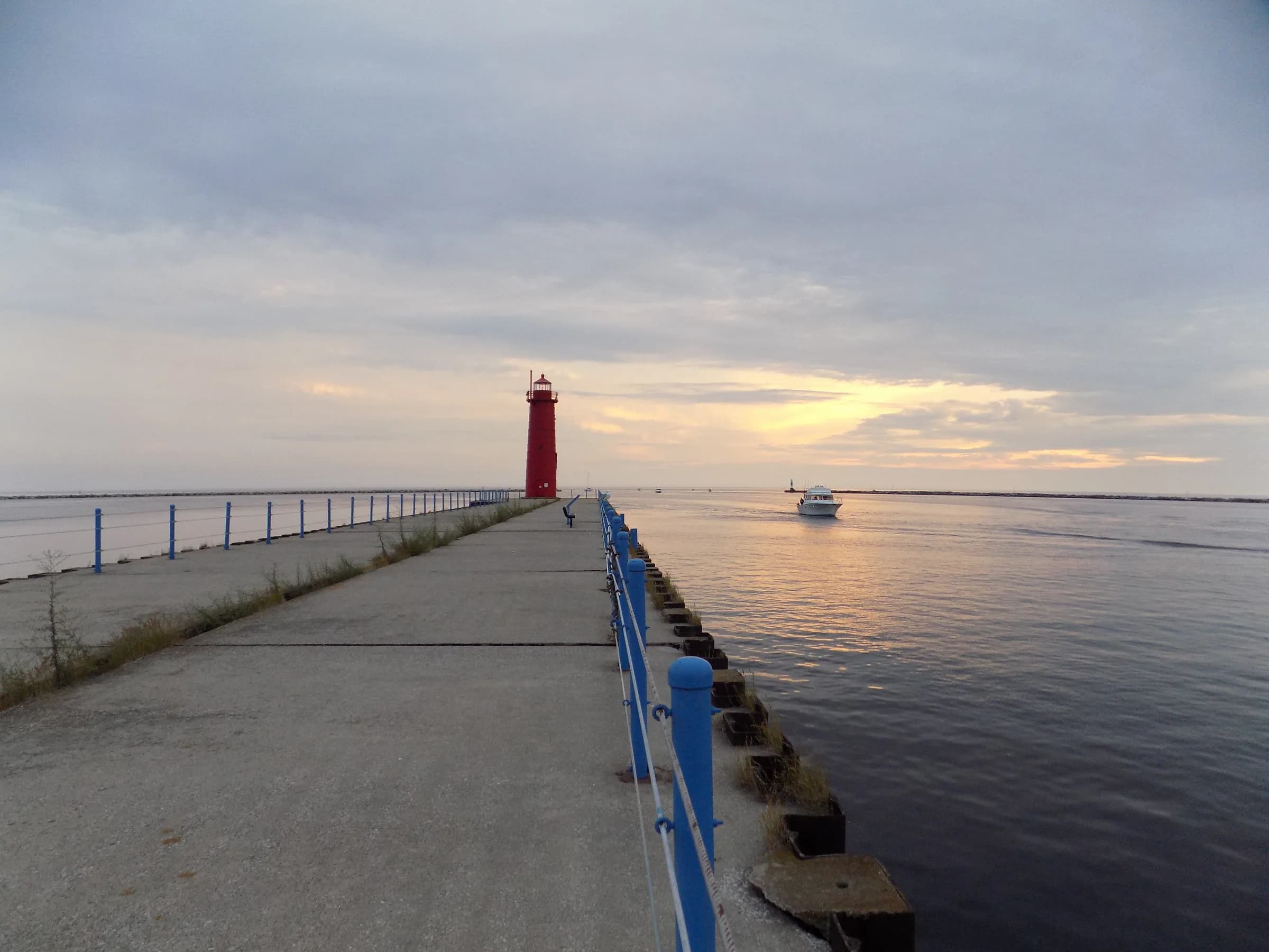
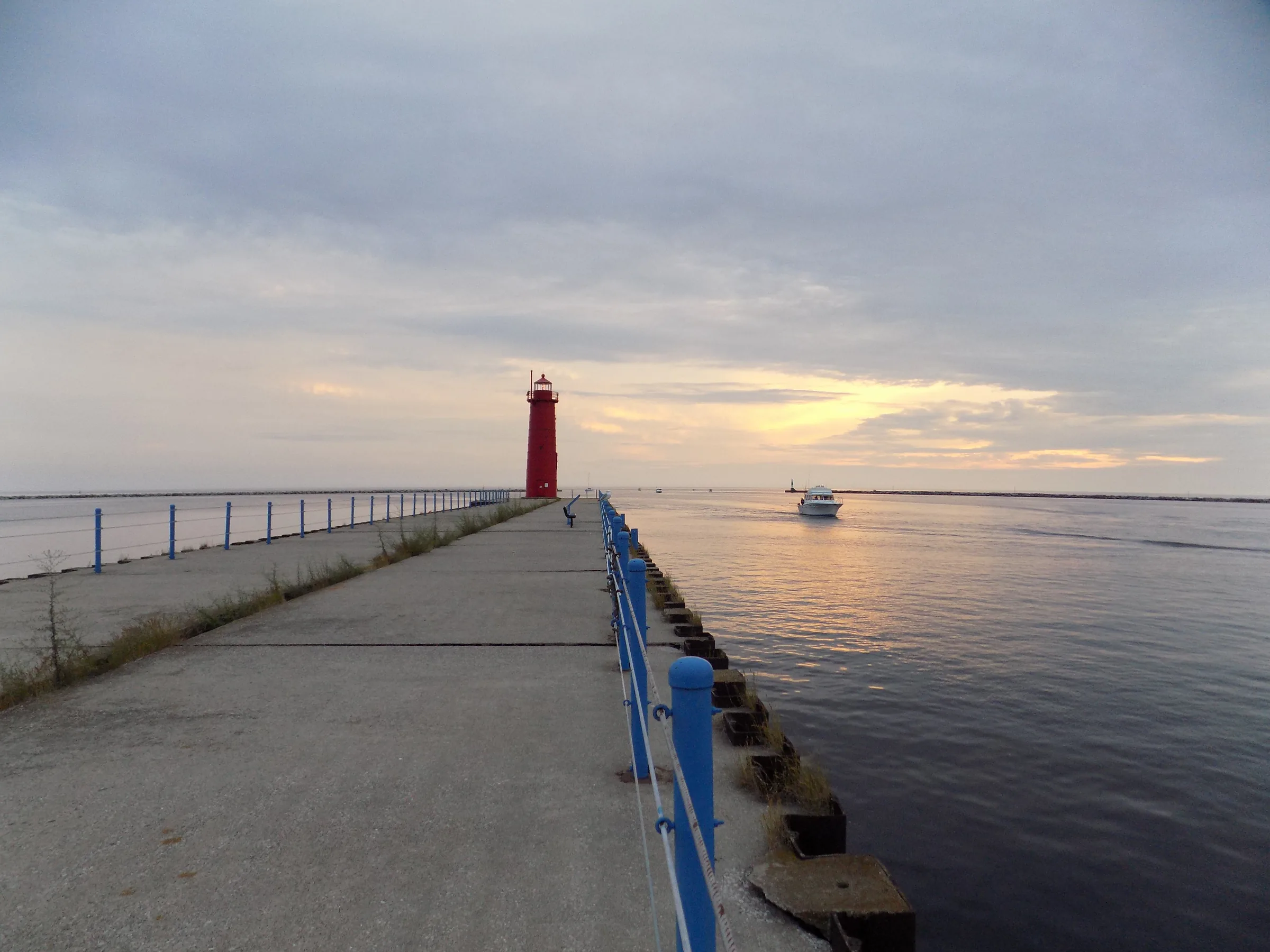
01The pier out to the Muskegon south breakwater light, at sunset.
NOAA Great Lakes Environmental Research Laboratory · CC BY-SA 2.0
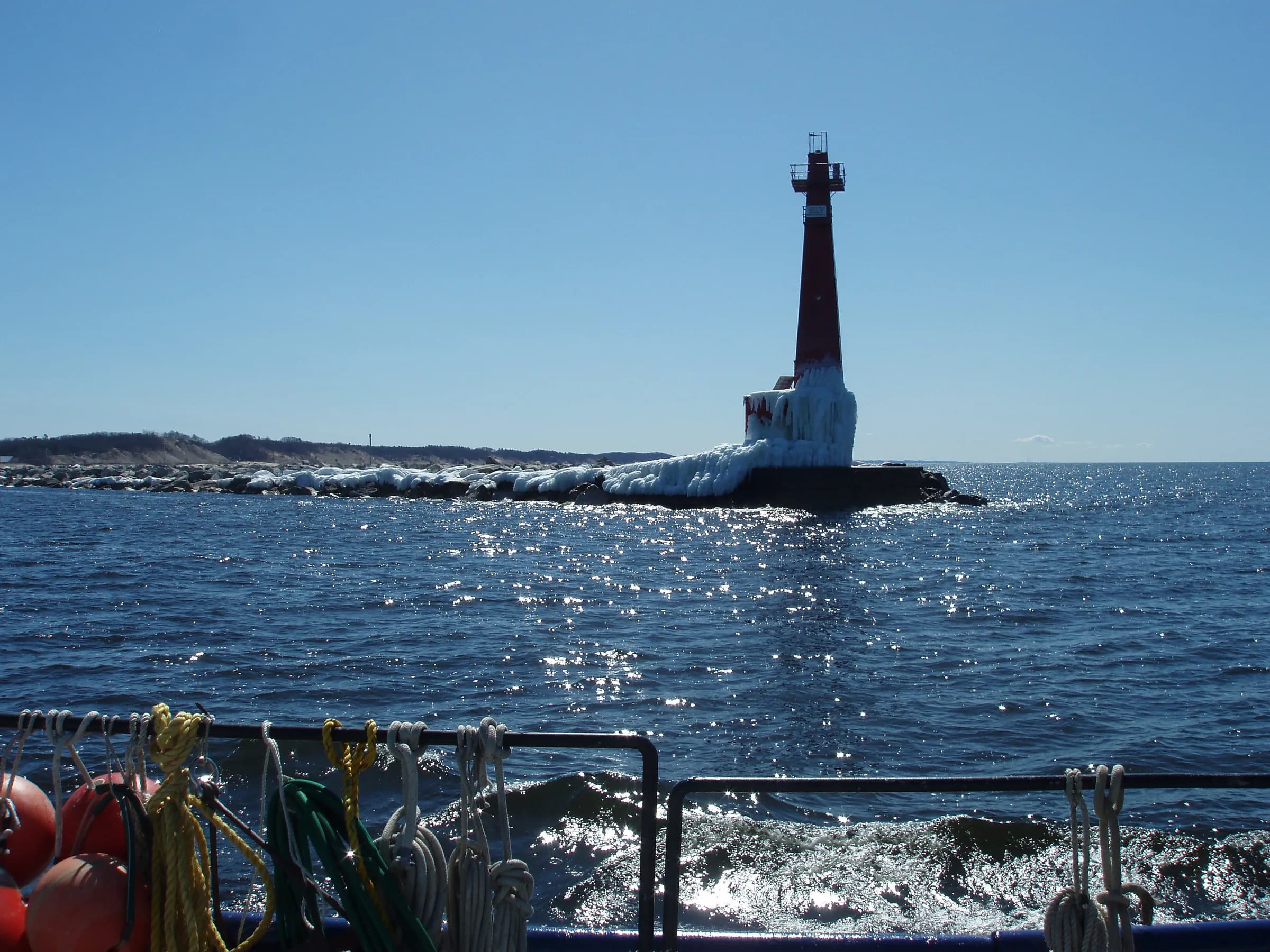
02The Muskegon pier light with the lake running.
NOAA Great Lakes Environmental Research Laboratory · CC BY-SA 2.0
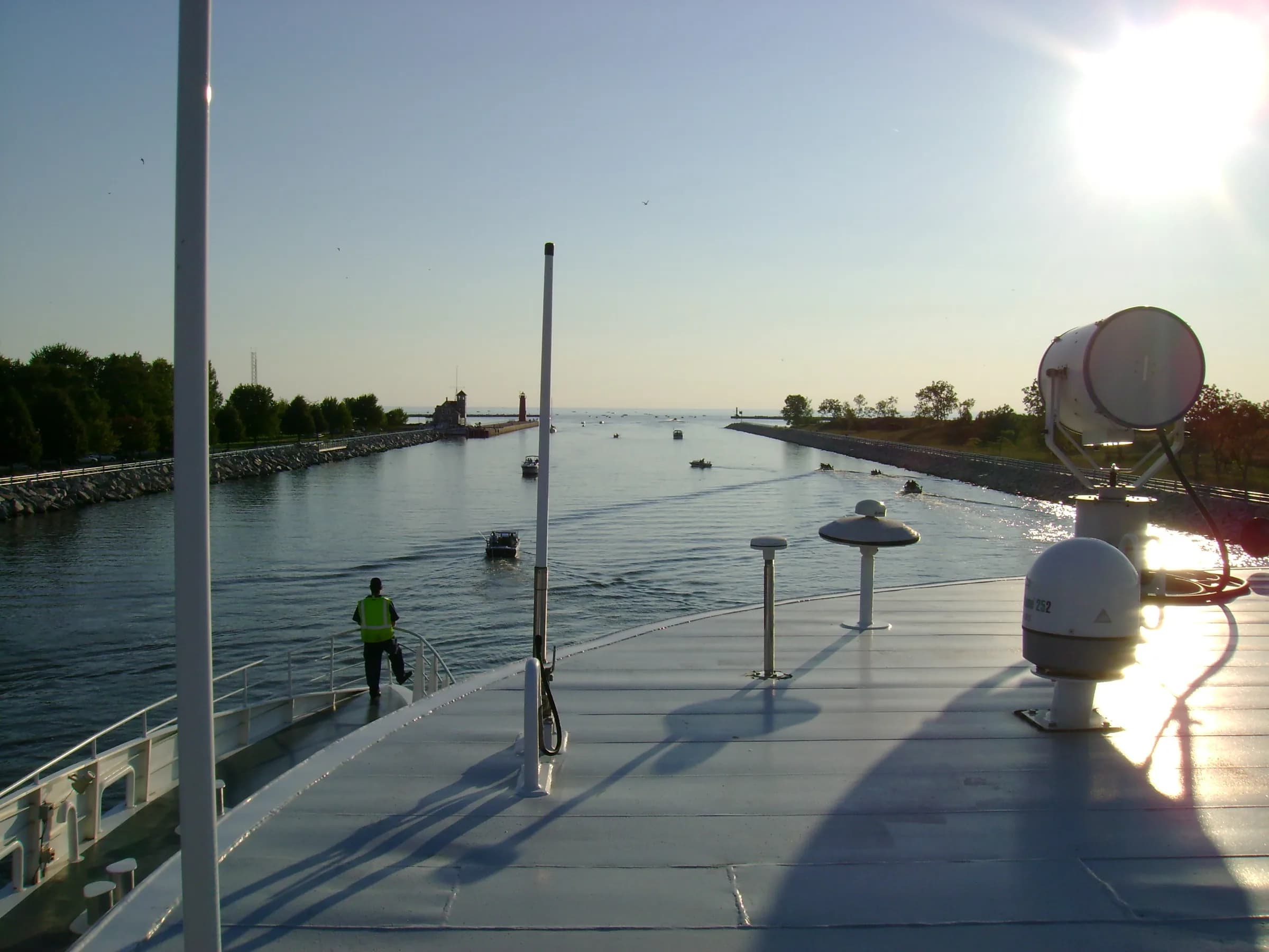
03The channel out of Muskegon Lake toward Lake Michigan.
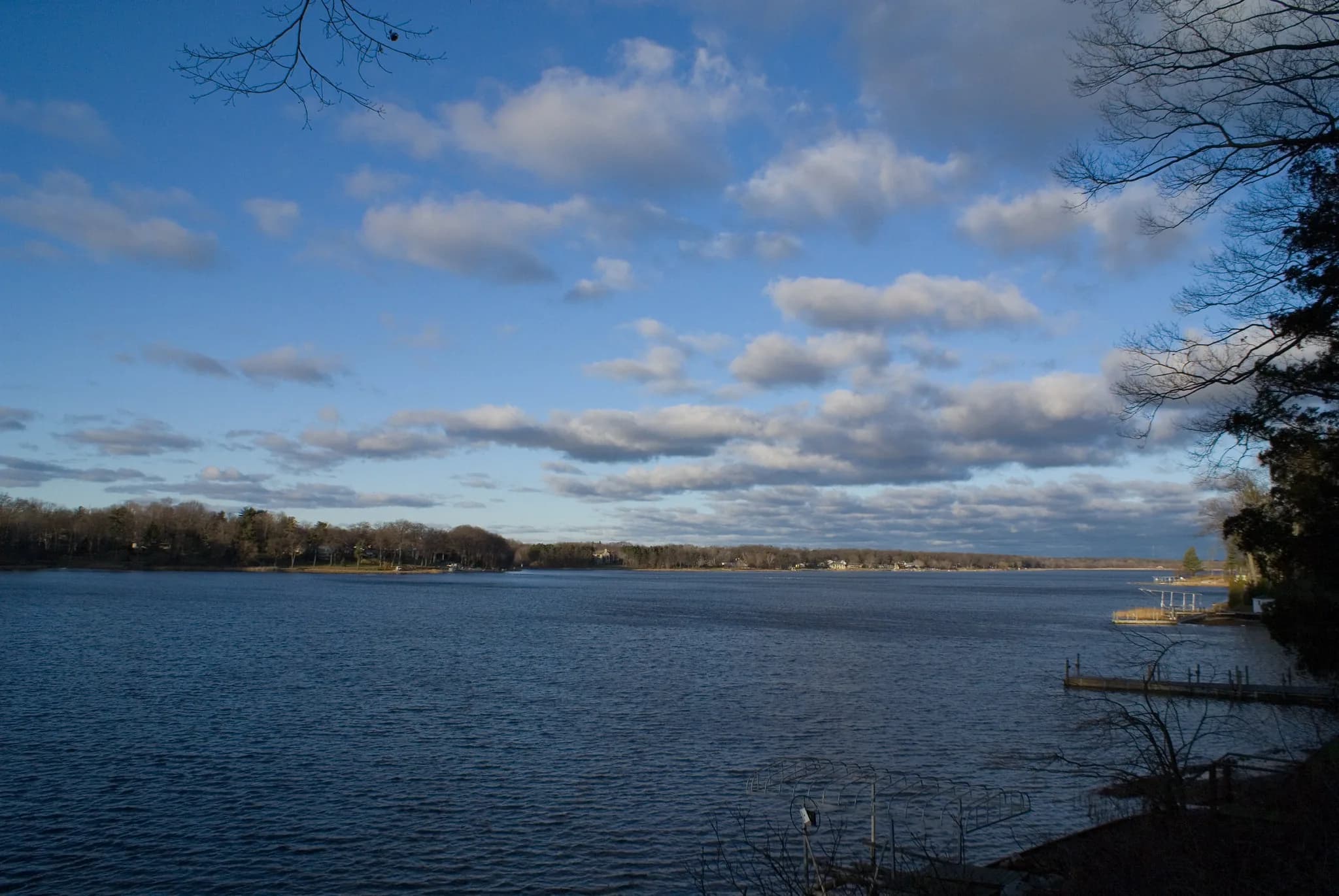
04Bear Lake, north of Muskegon Lake.
Things to do
Around the harbor.
Named places, not a mood board. Follow any of them through to the people who run it.
Beach
01
Pere Marquette Park
A 27.5-acre Lake Michigan beach bordered on the north by the channel.
State park
02
Muskegon State Park
Two miles of Lake Michigan shore, forested dunes and a year-round luge park.
Museum
03
USS Silversides Submarine Museum
A Gato-class Second World War submarine and two-floor museum on Bluff Street.
Museum
04
Muskegon Museum of Art
Founded 1912 from a Charles Hackley bequest; doubled in size in 2025.
Historic site
05
Hackley & Hume Historic Site
Queen Anne houses of two lumber barons, on Webster Avenue.
Trail
06
Muskegon Lakeshore Trail
Paved trail roughly twelve miles long, following the Muskegon Lake shoreline.
Dune park
07
Norman F. Kruse Park
52.3 acres of dune with about a mile of beach and the county's dog beach.
Lake
08
Muskegon Lake
4,149 acres of drowned river mouth, opening to Lake Michigan through the channel.
Hours, seasons and access change. Everything above links to the organization that runs it — check there before you drive out to Muskegon.
The market
Muskegon, last month.
Every figure below is Muskegon's own, as published for the month named on it.
- Median sale price
$198,500
City of Muskegon · May 2026 (43 sales)
+20.3% year over year
- Median price per square foot
$158/sq ft
City of Muskegon · May 2026 (43 sales)
−4.0% year over year
- Median days on market
21 days
City of Muskegon · May 2026 (43 sales)
+4 days year over year
- Homes sold
43
City of Muskegon · May 2026
−38.6% year over year
- New listings
66
City of Muskegon · May 2026
−1.5% year over year
- Homes for sale
110
City of Muskegon · May 2026
0.0% year over year
Redfin Monthly Housing Market Tracker, All Residential. Published by Redfin on 2 June 2026 and read into this site on 5 August 2026. Monthly figures describe closed sales, not asking prices, and a single month in a small town moves on a handful of transactions — none of this is a valuation of any particular house.
On the map
The deepest harbor.
Muskegon has the deepest working harbor on this stretch of coast and a lakefront in the middle of a long redevelopment. For buyers who are early rather than late, it offers frontage and scale that the towns to the south no longer have available.
Water · Muskegon Lake and Lake Michigan
- County
- Muskegon
- Water
- Muskegon Lake and Lake Michigan
- City income tax
- 1% resident, 0.5% non-resident
- Historic districts
- Nine, with design review
Pins mark the center of Muskegon and any listings nearby. Approximate positions, not surveyed locations.
Nearby
Closest to Muskegon.
Nothing listed in Muskegon this week.
Rennie works this market directly, and a good deal of what trades at the top of it never reaches a public search. Ask him what is actually available.
Ask Rennie about MuskegonBefore you buy
What to lookinto first.
Local conditions that change what a parcel is worth or what may be built on it. None of this is legal advice and none of it answers for a specific address — it is what to raise with the municipality, your attorney and your inspector before the offer, not after.
- 01Former industrial parcels
Muskegon's lakefront and near-downtown land carries a long industrial history, and Michigan law treats contaminated property carefully. A buyer can limit liability for existing contamination by completing a Baseline Environmental Assessment and disclosing it to EGLE and to later purchasers, but owners carry due care obligations regardless of who caused the problem. Budget time for environmental review on anything with a commercial or industrial past.
Michigan EGLE- 02The city groundwater ordinance
Muskegon adopted a groundwater ordinance in 1997 prohibiting wells and secondary water supplies on designated affected premises, to prevent exposure to contaminated groundwater. The city publishes maps of those premises and amends the list periodically. Check whether a parcel is on it before planning an irrigation or supply well.
City of Muskegon- 03A city income tax applies
Muskegon levies 1 per cent on residents and 0.5 per cent on non-residents for work performed in the city. Employers inside Muskegon withhold it, but if you live in the city and work elsewhere your employer may not, leaving you to file quarterly estimates. Factor it into carrying cost alongside property tax.
City of Muskegon- 04Nine local historic districts
The city adopted a historic district ordinance in 1973 and has nine defined districts. Inside them the Historic District Commission reviews new construction, demolition, major exterior repairs and any change to a building's exterior appearance, though routine maintenance is permitted. Taxes are no different; timelines and design choices are.
City of Muskegon- 05Critical dune and floodplain review
EGLE permits activity inside the designated Critical Dune Area within the city, which covers much of its Lake Michigan side. Separately, the city directs buyers to FEMA's Flood Map Service Center to check floodplain position. Verify both before assuming a lot is buildable as drawn.
City of Muskegon
Check it at the source
Zoning, permitted uses, shoreline rules and school boundaries are set by the governing bodies below and can change. These are the offices that answer for Muskegon.